
01/25/2006
Santa Barbara & Lost in the mountains, California
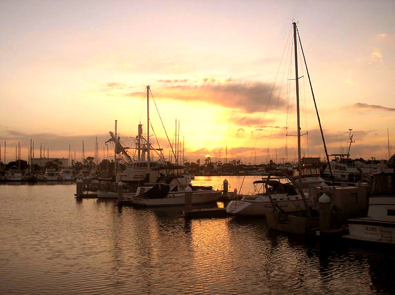
Today, Wednesday, we woke up at the Oxnard marina. We set course for Santa Barbara, nice and slow. I took an exit toward a village, Ojai, at the very last minute. Mick, who agreed, was just as impressed by the road and the scenery. I’ve never been to France, but from everything I’ve seen in photos and documentaries, we really would have thought we were there. Vineyards everywhere, trees a green you don’t even see here in summer, mountains all around and a big lake in the valley — in short, it was beautiful to see.
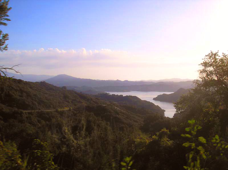
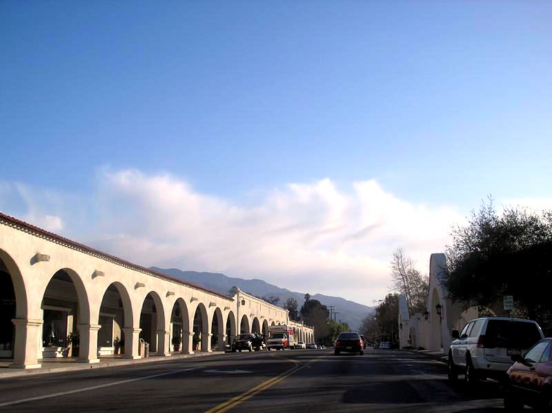
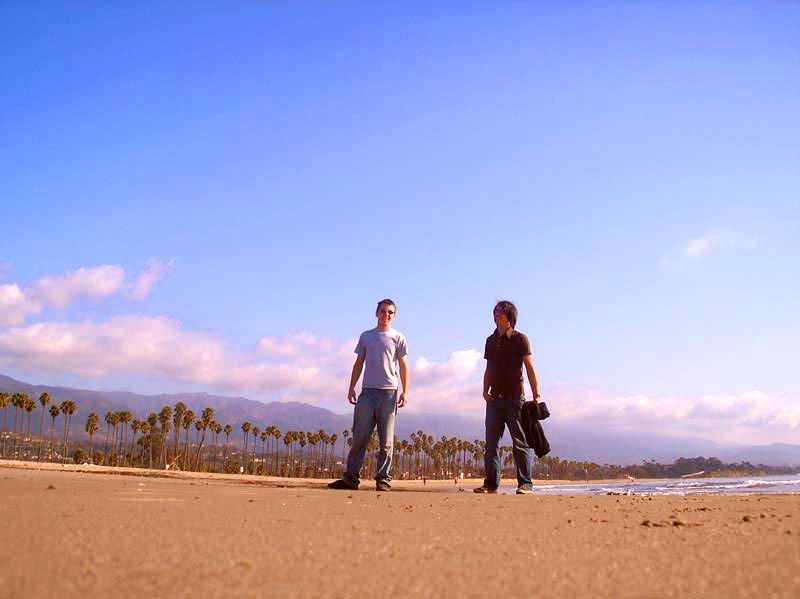
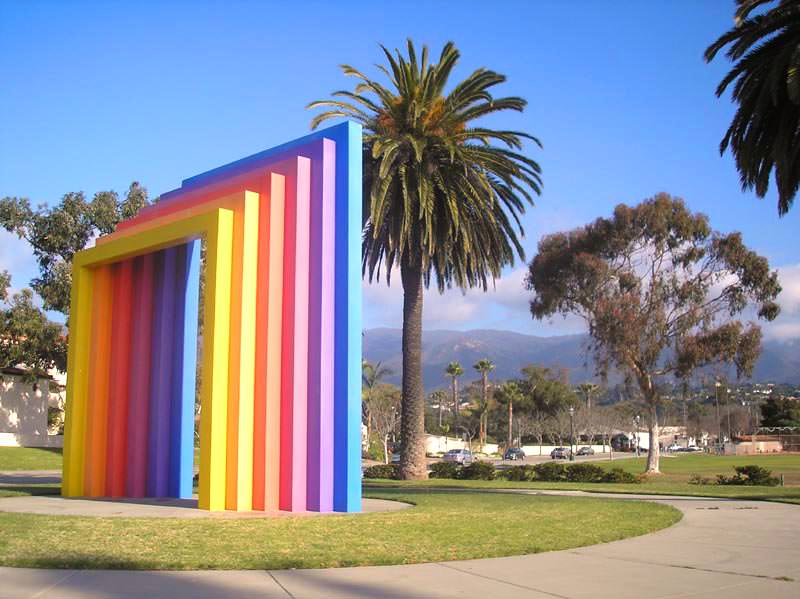
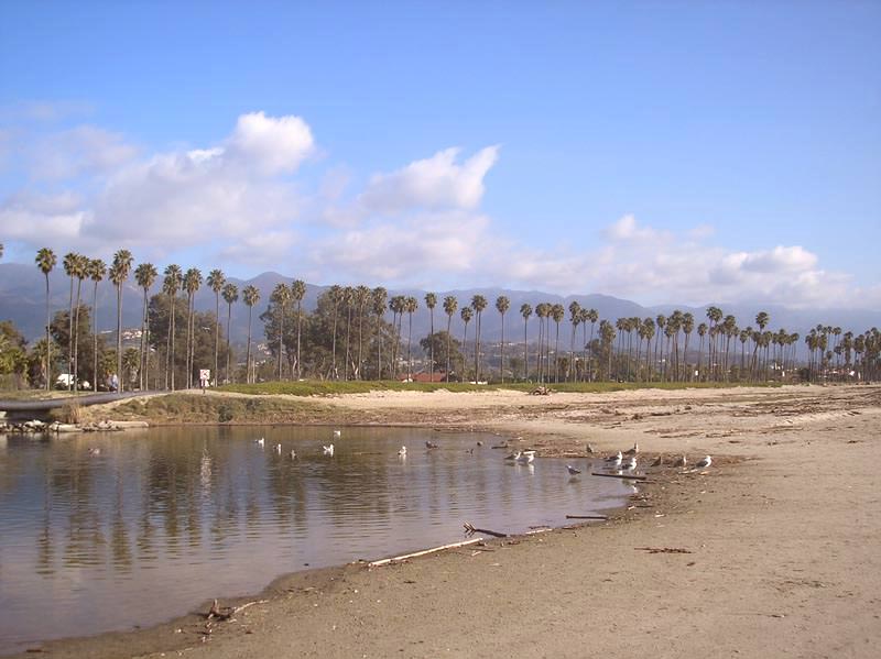
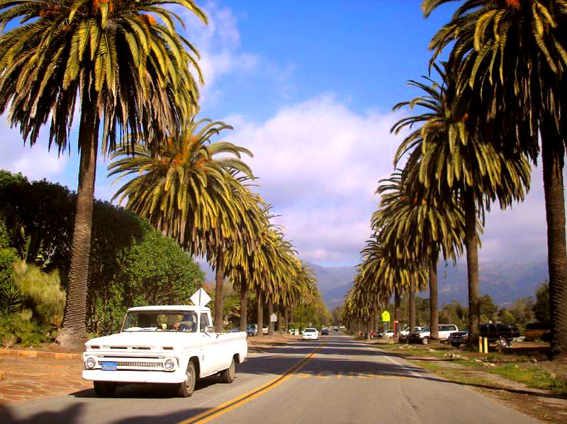
The village of Ojai has a Mexican look like many other towns here, but its location is still remarkable. Anyway, we visited the village and came back by another road, where we could see oil pumps right in the mountains... funny to see. Arriving in Santa Barbara, we took 10 minutes to go for a stroll on the beach. The town is really very beautiful, and houses are built right into the mountains behind the town. Behind those mountains is a rather impressive mountain range whose summit we didn’t get to see — the clouds were too thick.
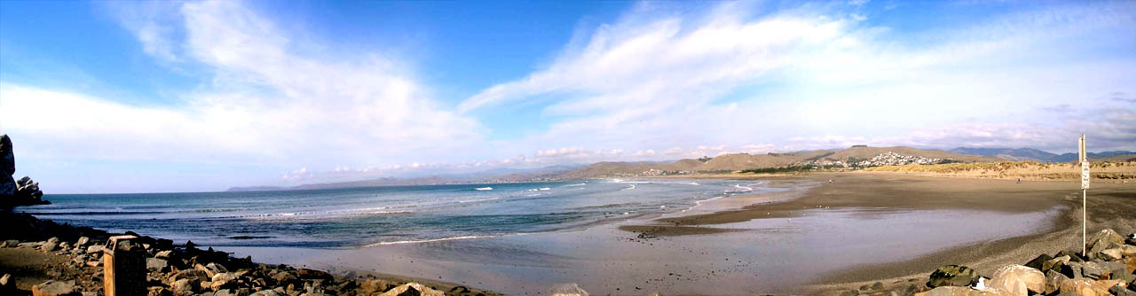
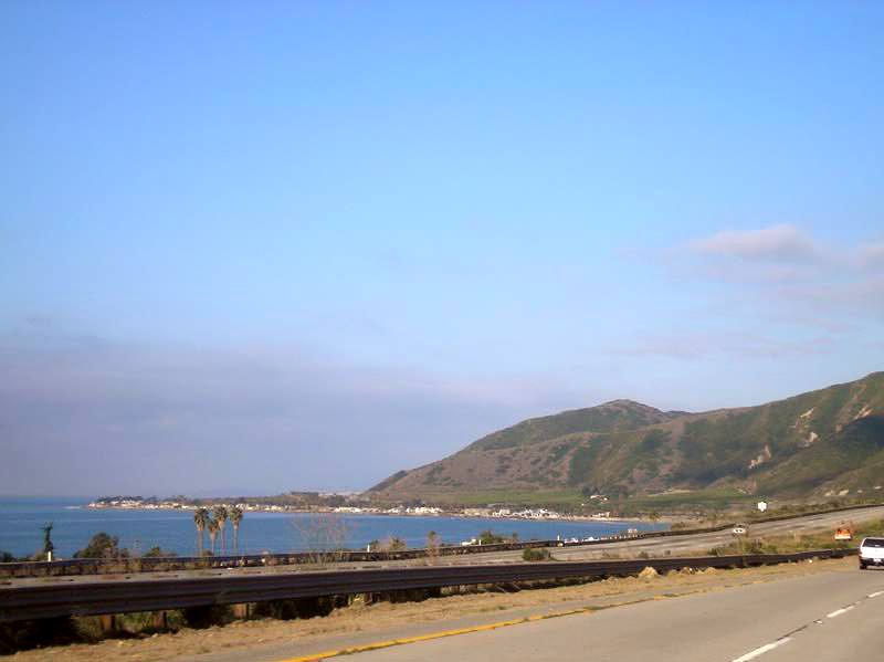
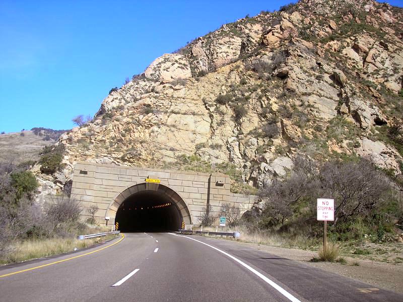
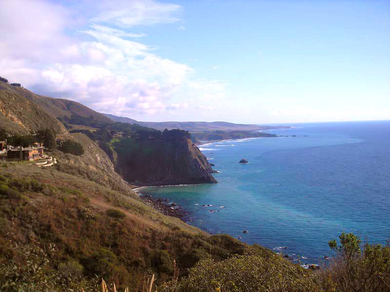
We updated the website in front of a little local café, and headed north. That’s where some of the most beautiful spots of the trip were... The roads, cut into cliffs and mountains, wind along the Pacific. So on your left you have a drop that goes straight down into the ocean, and on your right you have very steep cliffs where rocks fall frequently!
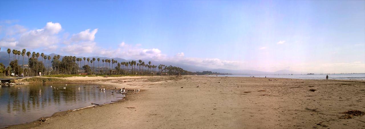
What an ordeal for the workers who had to build these roads — it’s quite incredible. Very often, curves of 90 degrees and more, and the road isn’t wide at all... straight stretches are very rare! Lucky with the weather as we are, we still had the sun with us! Note that most of the mountain tops were still covered in clouds... I guess that’s normal around here.
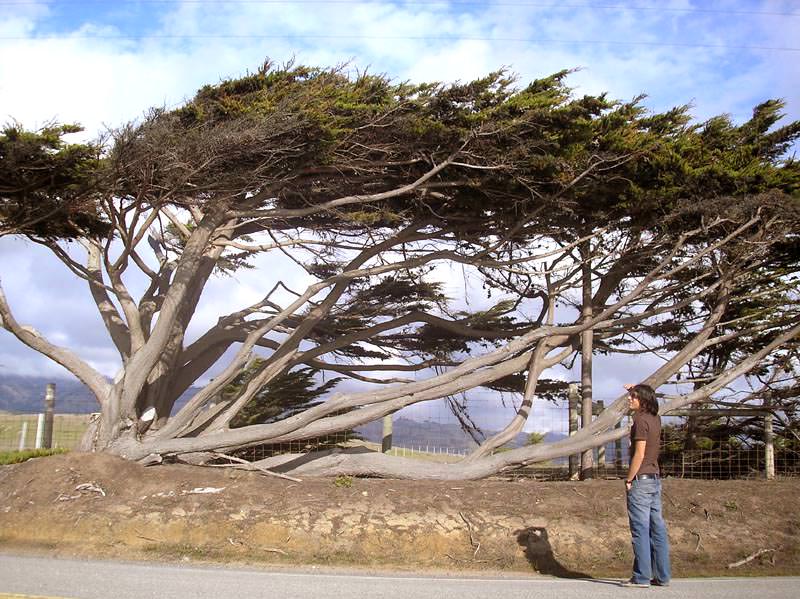
Something a bit strange: the trees give the impression, contrary to logic, of growing right at the top of the mountains, or in the valleys, and not on the slopes. If anyone has an answer to this question, please let us know. We ended up stopping at one of the few clearings we’ve seen since the start of these roads.
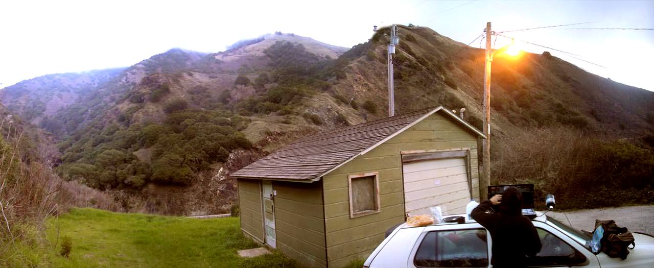
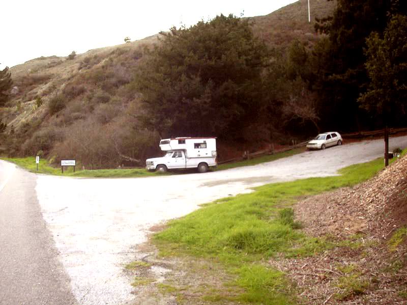
At the bottom of the yard there was an old pickup/camper, and a sign suggesting that trails are accessible to tourists. An old house, probably a cabin, is built higher up on the property, fenced all around, with a “Private Property” sign on the fence gate. Mick decided to go knock to see if there might be someone there, to find out if we could sleep on the property.
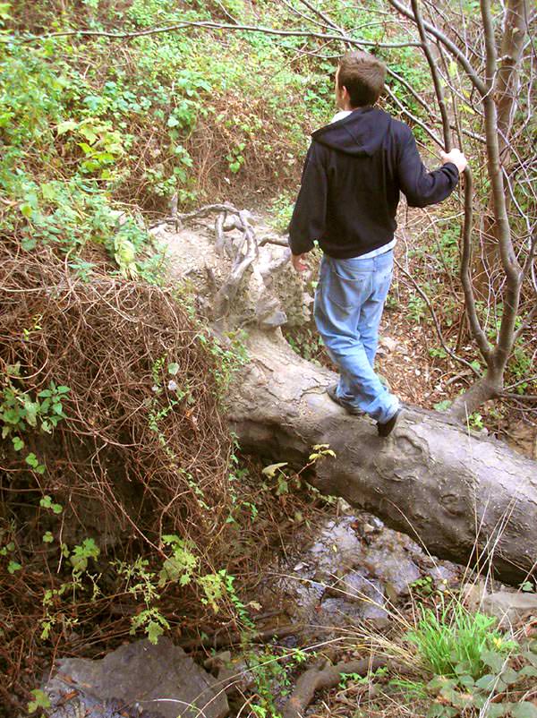
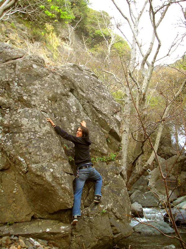
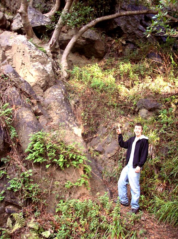
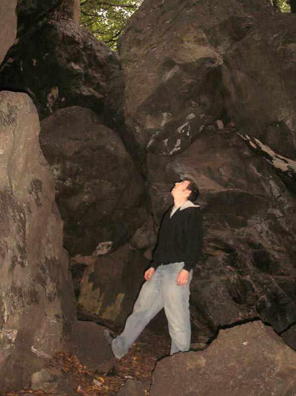
Unfortunately, the house looked quite empty. So we left the car at the bottom of the yard and went to take a trail that led to a waterfall. We had to do a bit of climbing, but we finally made it to the top.
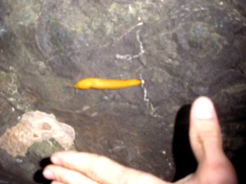
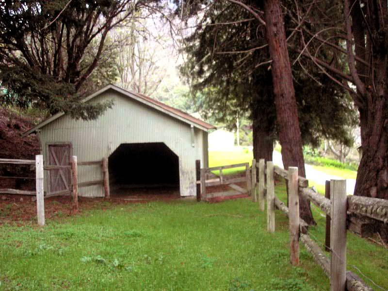
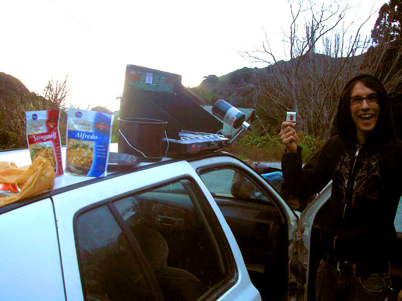
Later, we decided to drive the car further up the yard, where there was a garage with a sign reading “Property of the American Government.” So we explored the property a bit — a small cabin with a trash can where a garter snake was... nailed to the ceiling, and an old stable with a water system for horses further on. A perfect spot to camp, really! We cooked pasta on the propane stove for dinner before going to sleep.